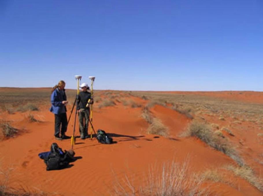
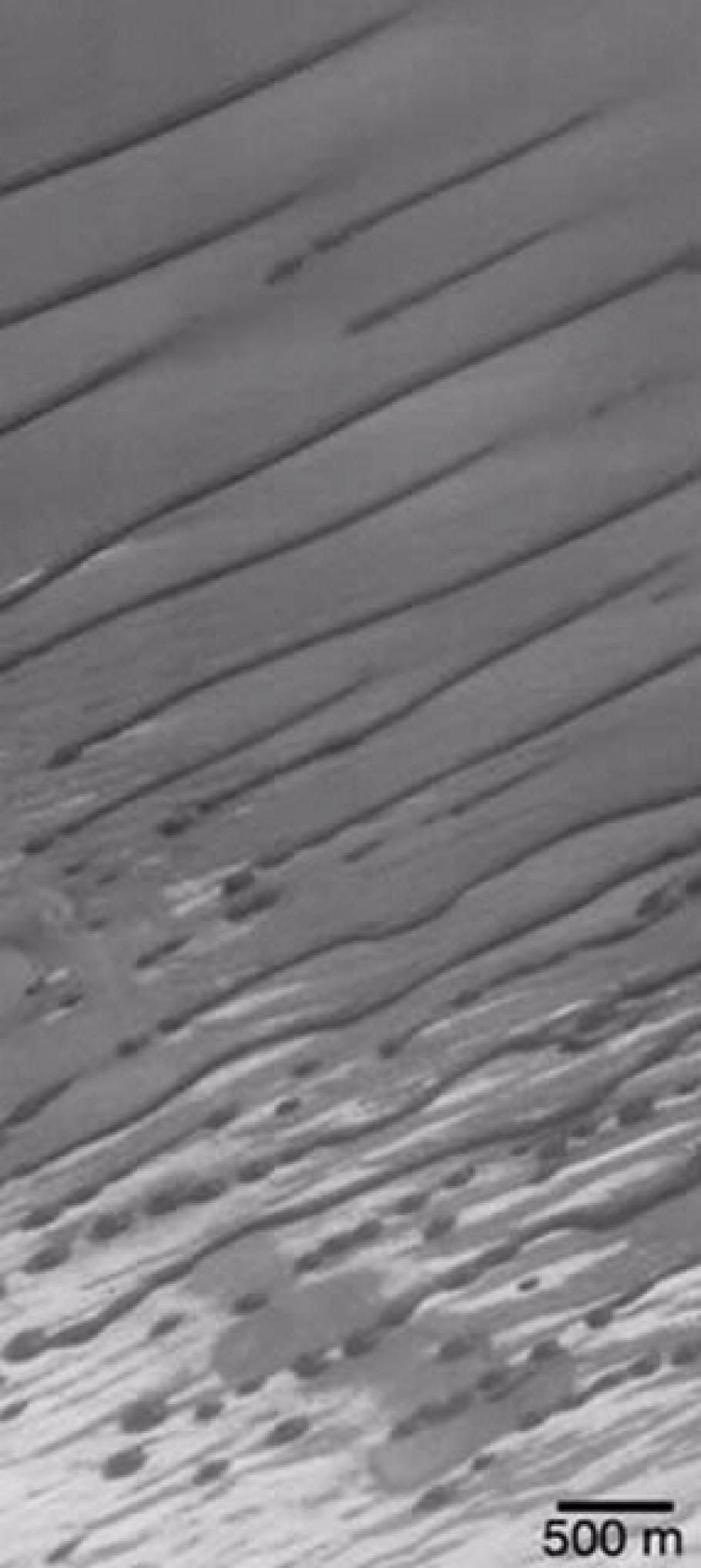
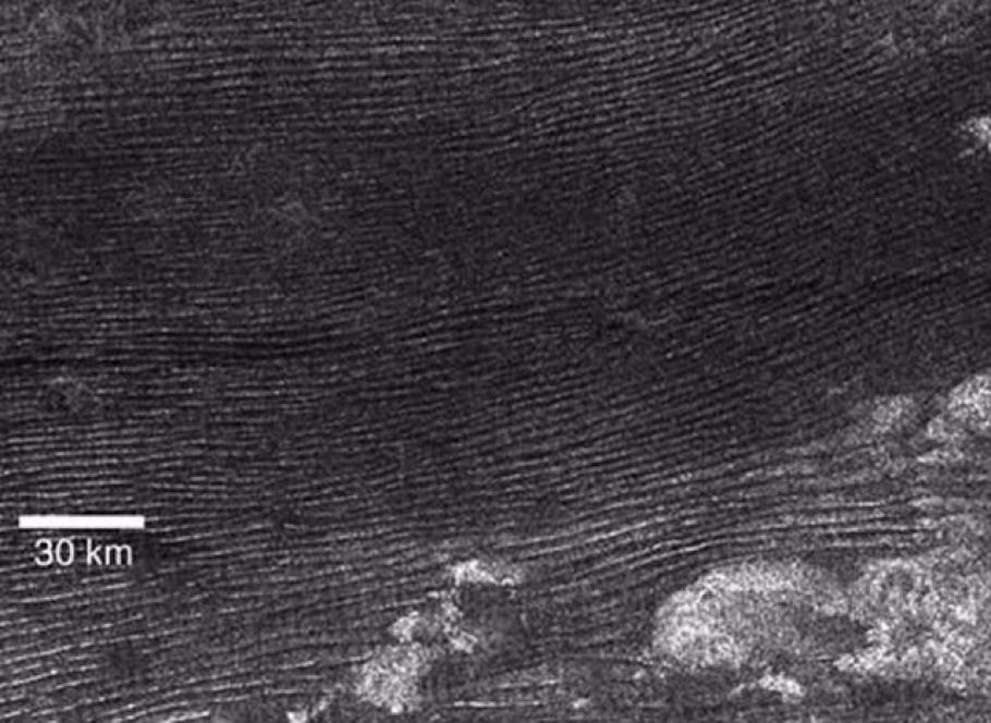
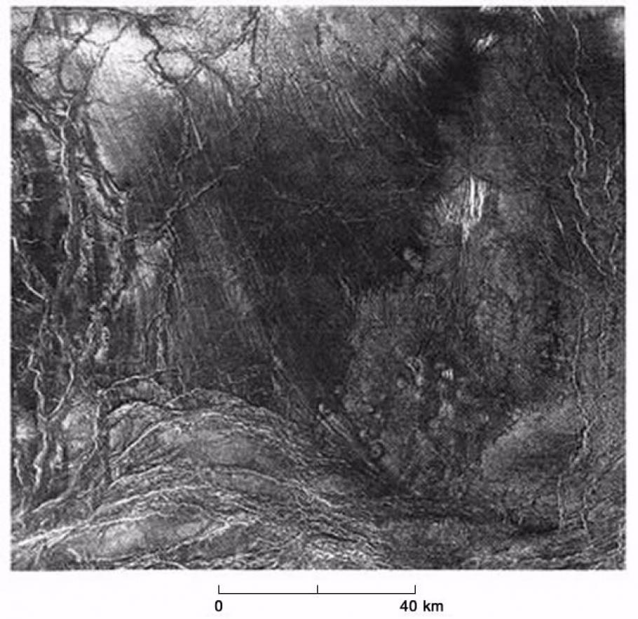
Linear dunes cover about 40 percent of the Australian continent and represent about 40 percent of all the dunes in the world. Linear dunes have also been found on all the terrestrial planets with an atmosphere. Although they are somewhat rare features on Mars, there is evidence for linear dunes on Venus and Titan as well. Despite the fact that they are such common features very little is known about their formation, their chronology, or their interaction with other landforms. Our goal is to conduct a detailed survey and geochemical analyses of the linear dunes located in the Simpson Desert in central Australia. From thermal infrared remote sensing data and laboratory analyses, we also hope to better understand the complex interaction between the linear dunes and the surrounding land and river systems.
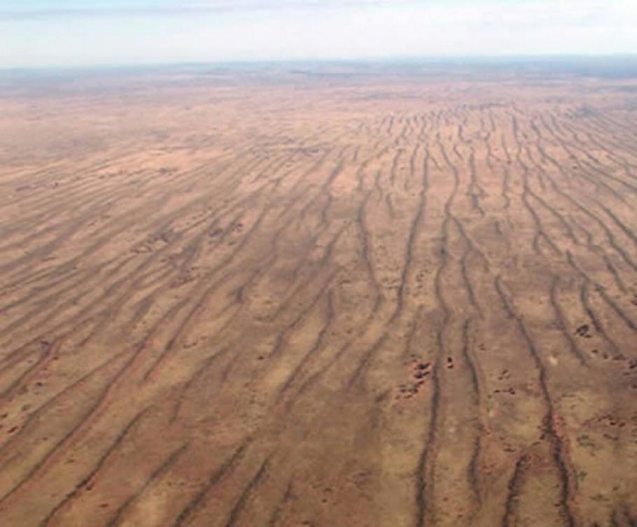
The Simpson Desert is ~170,000 km2, or roughly the size of the state of Georgia. It is dominated by northwest oriented parallel linear dunes that are between 10 and 40 m in height and from one to several hundred kilometers in length. Inter-dune spacing is typically between 100 m to 1.5 km and varies inversely as a function of dune height. The area surrounding the Simpson Desert only receives about 120-180 mm of rain every year, making it the driest part of Australia, and many of the surrounding rivers only flow ephemerally. When intense seasonal monsoonal rains to the north cause these rivers to flood, the waters become choked by sand upon reaching the desert resulting in a series of complex floodout deposits. The water then seeps into the sand and continues towards Lake Eyre as shallow saline groundwater flows.
This intricate interaction between eolian and fluvial deposits makes the Simpson Desert an ideal environment for testing many of the ideas we currently have about the Martian surface. Geologic evidence suggests that ancient Mars once had a climate that was more Earth-like, and features such as outflow channels, valley networks, modified impact craters and layered deposits suggest that Mars should contain fluvial deposits related to this past climate. However, once the ancient climate of Mars failed, eolian processes began to rework and bury many of the fluvial deposits and their related features. Although the mantra of NASA's Mars Exploration Program is to "follow the water," most of the geologic evidence needed to do this has been modified. By analyzing the linear dunes and surrounding floodout deposits we will better understand the formation and evolution of the Simpson Desert as well as the timing and nature of climatic change in Australia. By analogy, these field studies will also help us to better understand the modification of Martian valley networks and interpret remote sensing data from Mars orbiting spacecraft.
