
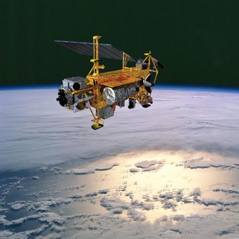
Satellites help us see our world in new ways. Here are three ways that they have led to a better understanding of how we affect our environment and steps we can take to help protect it.
1. The Hole in the Ozone Layer
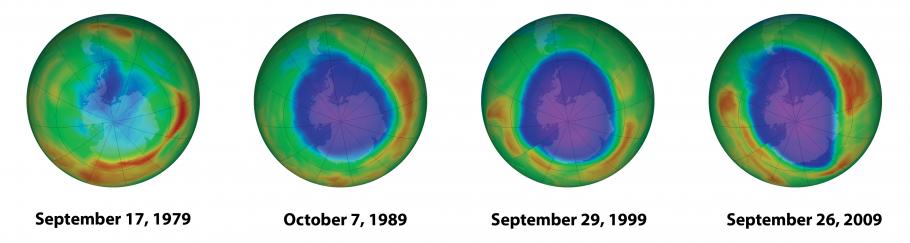
In the mid-1970s scientists developed a theory that certain gases in common products—hairsprays, aerosol deodorants, and refrigerants—could cause a serious problem. These gases could drift upward and damage Earth’s atmosphere when they were released. The damage would occur when the gases interacted with the Earth’s ozone layer. The Ozone layer acts as a protective shield that blocks dangerous ultraviolet radiation from the Sun.
A decade later, satellite imagery revealed a huge, depleted area of the ozone layer over Antarctica. This confirmed scientists' theory and provided startling evidence of human impact on a global scale. In 1987, production of these hazardous gases was banned by a unanimous United Nations treaty.
2. Monitoring Landscape Changes
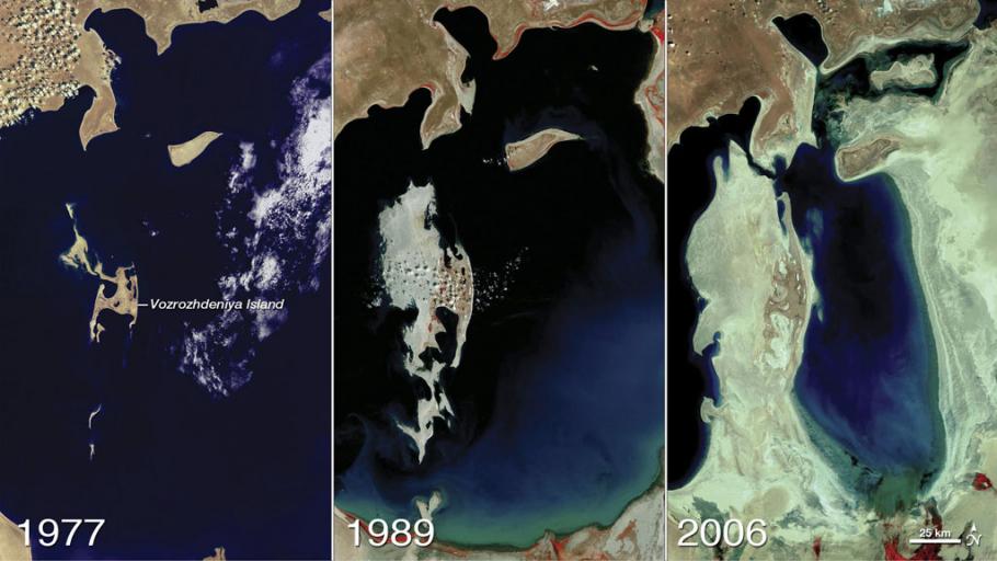
One of the first steps to realizing there’s a problem is visualizing the problem. When it comes to the environment, images taken by satellites are one of the resources available to us in this effort. Images taken by satellites gives us an idea of the Earth’s changing landscape on a much larger scale than could be seen from the ground.
3. Wildlife Conservation
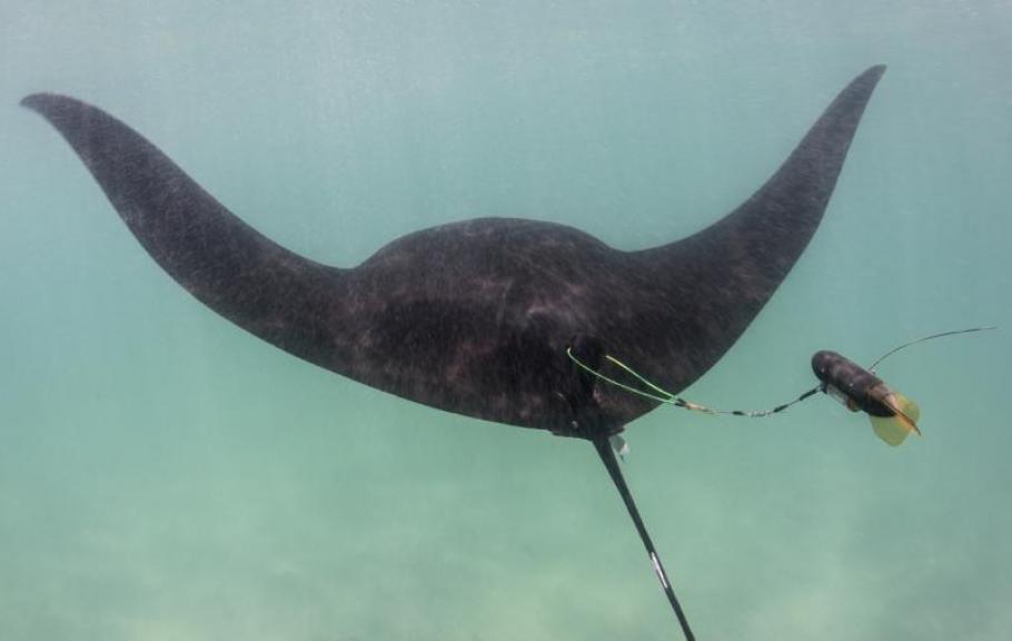
Global Positioning System, or GPS as it is commonly known, is another way satellites help us monitor our evolving Earth—particularly when it comes to wildlife conservation.
Monitoring devices equipped with GPS allow scientists to track the movement and migration of sharks, birds, elephants, and other animals. This data helps scientists study their behavior and improve strategies for helping wildlife.
From the ozone to underwater life, satellites help us understand our environment. In some cases, satellites enable us to take steps to protect it.